#prüm_syncline
Prüm Syncline
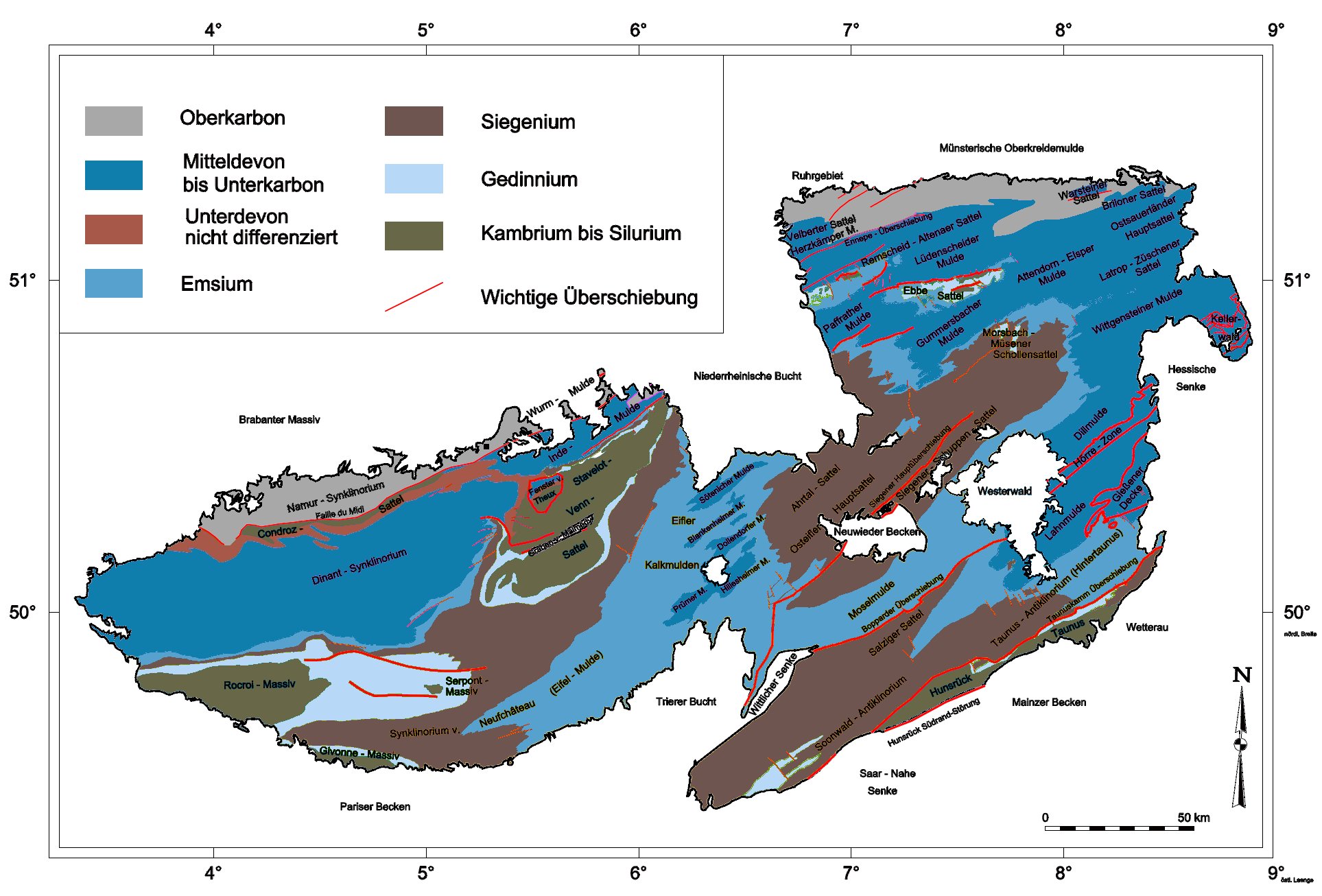
The Prüm Syncline, Prüm Limestone Basin or Prüm Basin is a landscape unit of the southern Limestone Eifel in Germany, which in turn is part of the Eifel mountain range. The region lies in the German state of Rhineland-Palatinate. The Prüm Limestone Basin has an area of 240 km2 and is the largest of the Eifel limestone basins. Geologically it contains dolomite formed from the fringing reefs or barrier reefs of the Devonian on the edge of the Rheno-Hercynian Basin mixed with rocks of other earth-historical periods. It is named after the largest settlement in the region, the town of Prüm, and the River Prüm, whose right bank running from northeast to southwest marks the western boundary of the basin. In the east the basin extends beyond the village of Büdesheim almost to the Gerolstein Basin and the Hillesheim/Ahrdorf Basin, whose borders in the Upper Bettingen bunter sandstone region are unclear. In the southwest the basin runs from Schönecken with the exposed rock formations of the Schönecker, Switzerland in the direction of Daleiden. The region lies at an average height of 500 to 550 metres above sea level.
Tue 12th
Provided by Wikipedia
This keyword could refer to multiple things. Here are some suggestions: